
Highlights
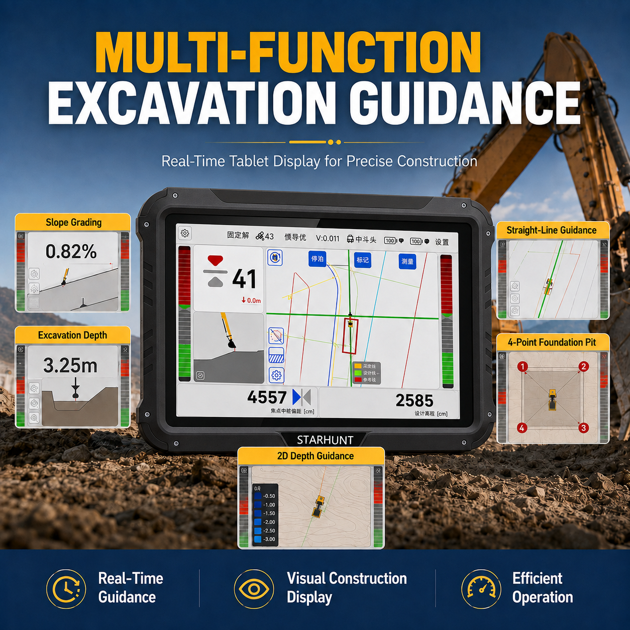
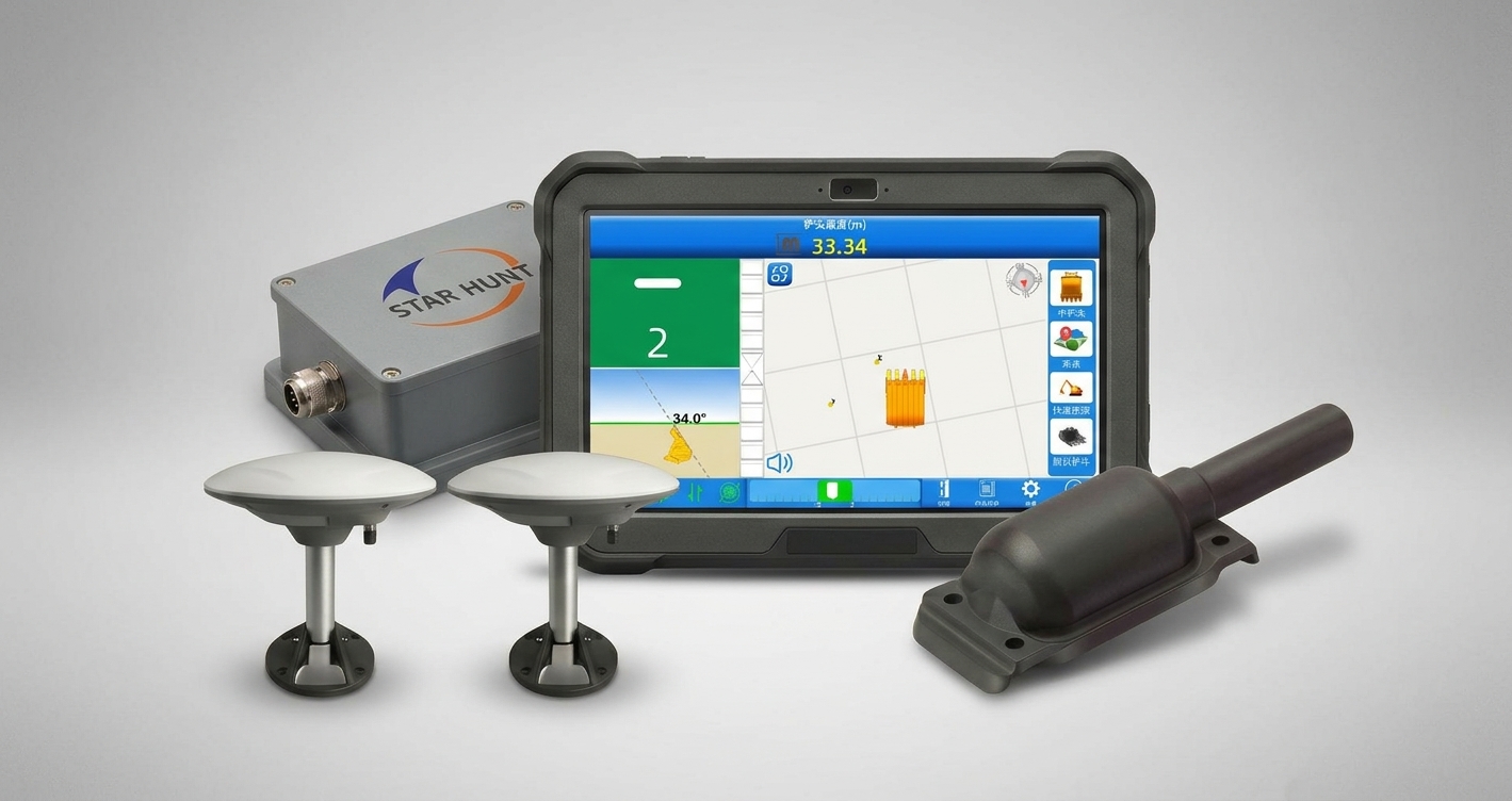
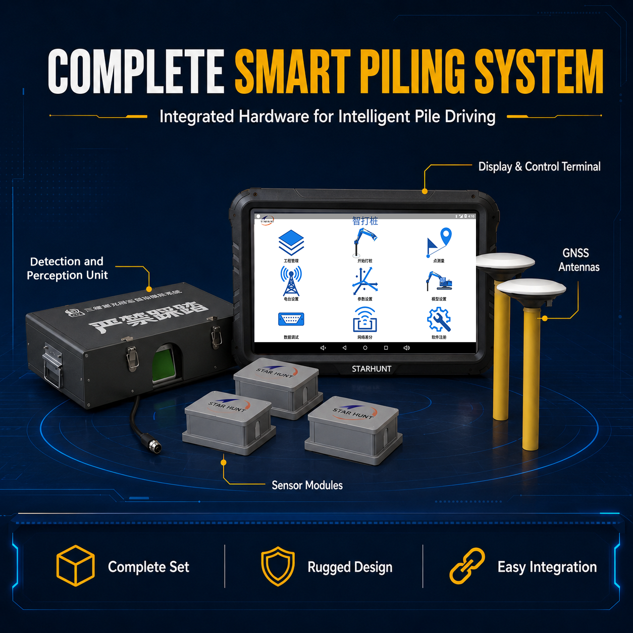
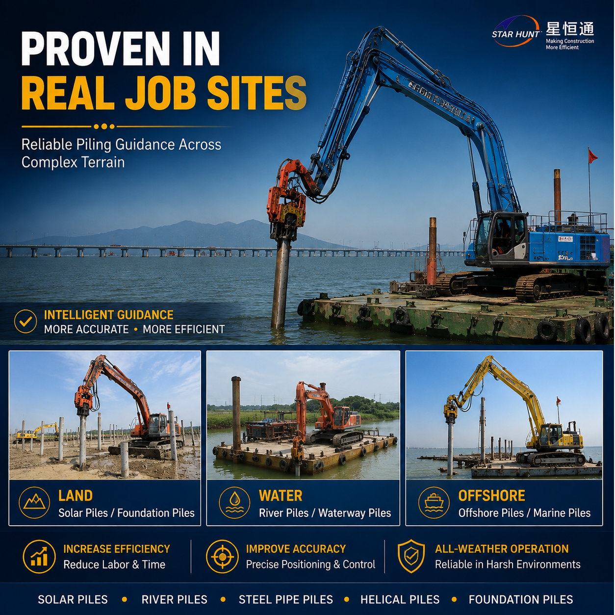
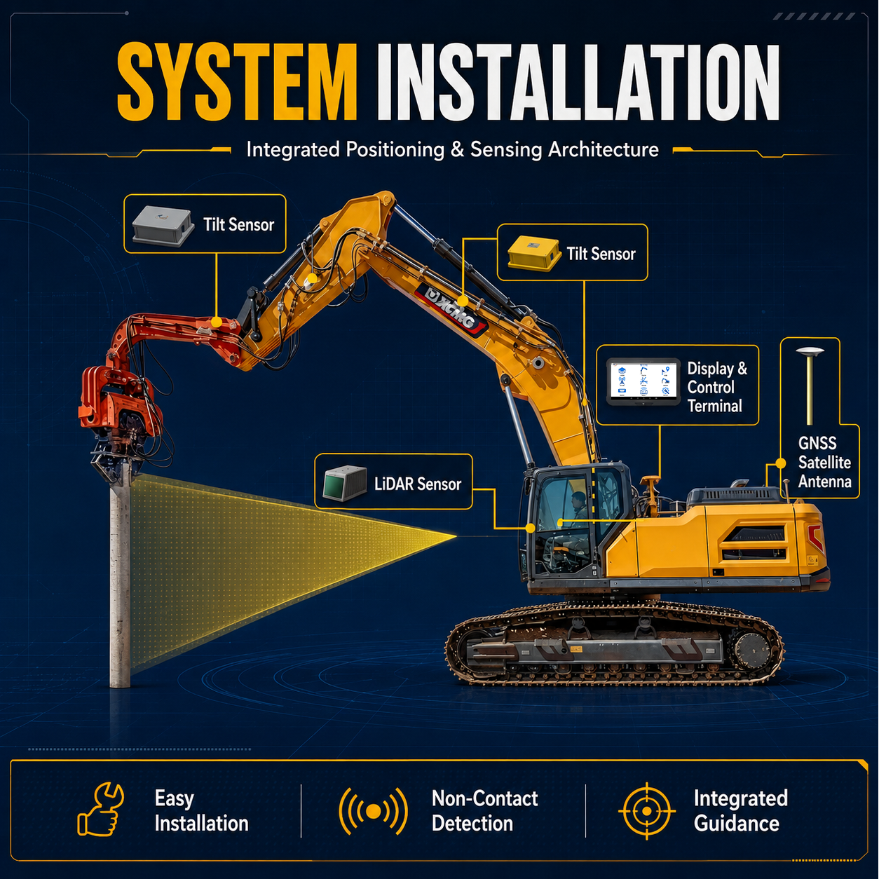
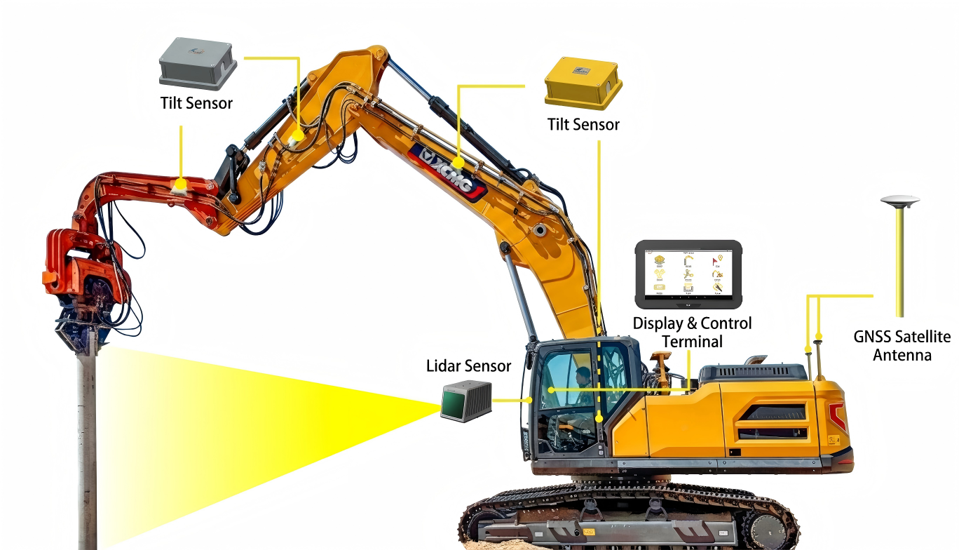
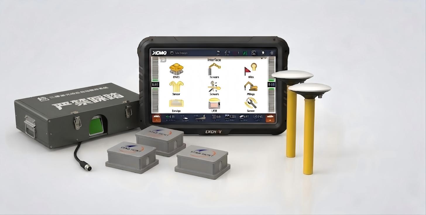
The industry's first intelligent vibratory pile driving guidance system. Integrates BeiDou GNSS positioning, high-precision attitude sensors, LiDAR point-cloud target recognition, and serial robotic-arm coordinate calculation. Displays pile position deviation, inclination, depth, and planar location in real time via a visual interface — eliminating manual staking-out and visual pile monitoring. Deployed at scale in the world's largest offshore photovoltaic project in Lianyungang.
Main Features
High-Precision
±3 cm
User-Friendly
Intuitive in-cab display
Rugged
Ruggedized for harsh sites
Connectivity
Flexible integration
Benefits and Performances
01Realtime guidance for coordinates, verticality, and elevation
02No pre-staking or total station guidance needed
03LiDAR-based non-contact measurement minimizes the impact of vibration
04Normal night operation
05For cylindrical and rectangular pile driving
06Extract coordinates from drawings to generate task files
Seeking for perfect solution to fit your needs?
Contact StarHunt Navigation to create a customized solution tailored to meet the specific needs of your business.
Contact Us Today