
Highlights
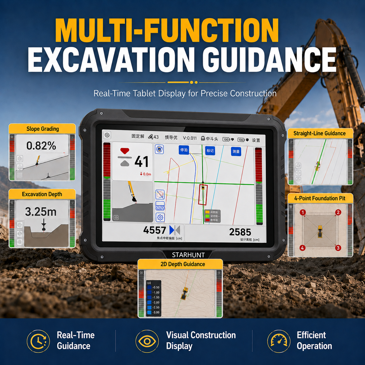
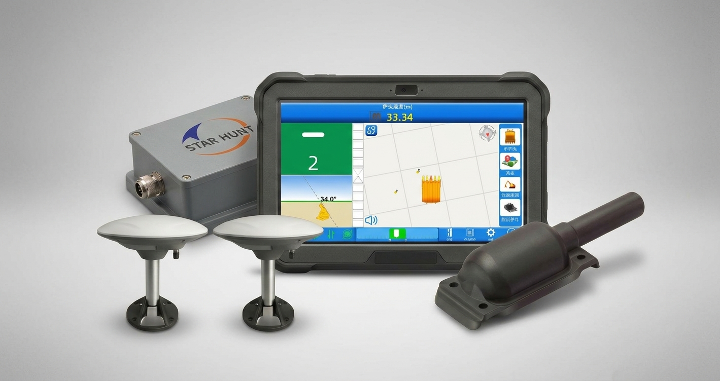
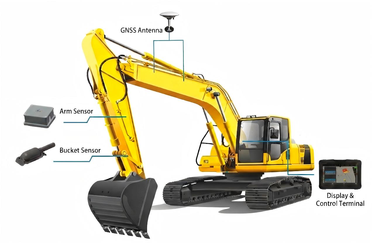
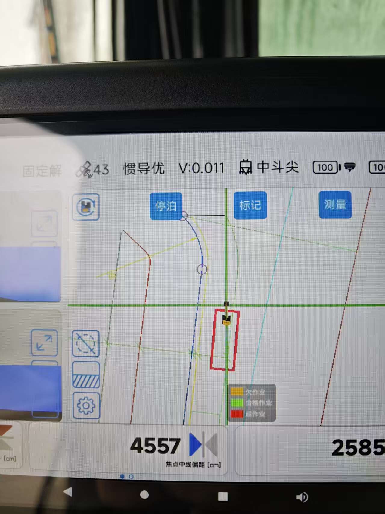
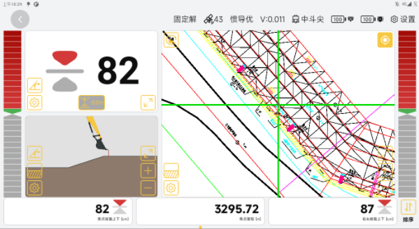
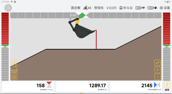
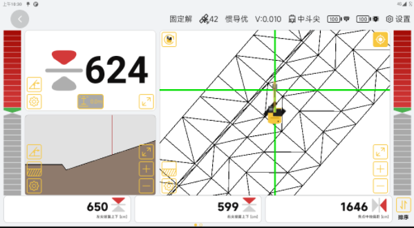
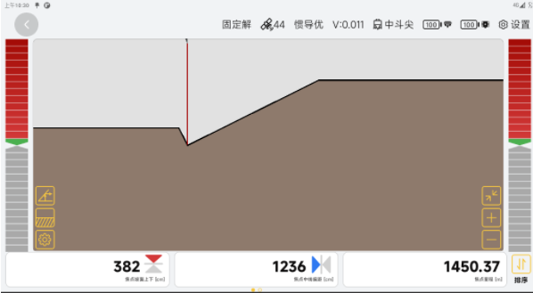
A specialized intelligent guidance system for backhoe dredgers (反铲挖泥船). Combines BeiDou GNSS positioning with attitude sensors to compute real-time 3D bucket tip coordinates underwater with ±3cm accuracy — even in zero-visibility turbid water. Color-coded depth map display: green zones are complete, red zones need work. Designed for continuous saltwater exposure with ruggedized hardware. Supports CAD drawing and bathymetric survey data import for design profile overlay.
Main Features
High-Precision
±3 cm
User-Friendly
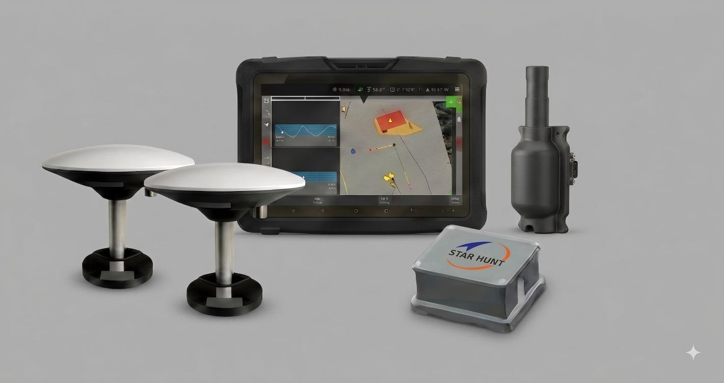
10.1" 1024×600, Android 10.0
Rugged
IP68
Connectivity
Flexible integration
Benefits and Performances
01Real-time 3D bucket tip positioning underwater — eliminates
02Color-coded depth map: green = done, red =
03Automatic tide level compensation for accurate depth regardless
04Underwater obstacle marking to prevent bucket impact damage
05Cloud-based remote monitoring — managers view real-time dredge
06Single-operator capability — no survey crew on board
Seeking for perfect solution to fit your needs?
Contact StarHunt Navigation to create a customized solution tailored to meet the specific needs of your business.
Contact Us Today