
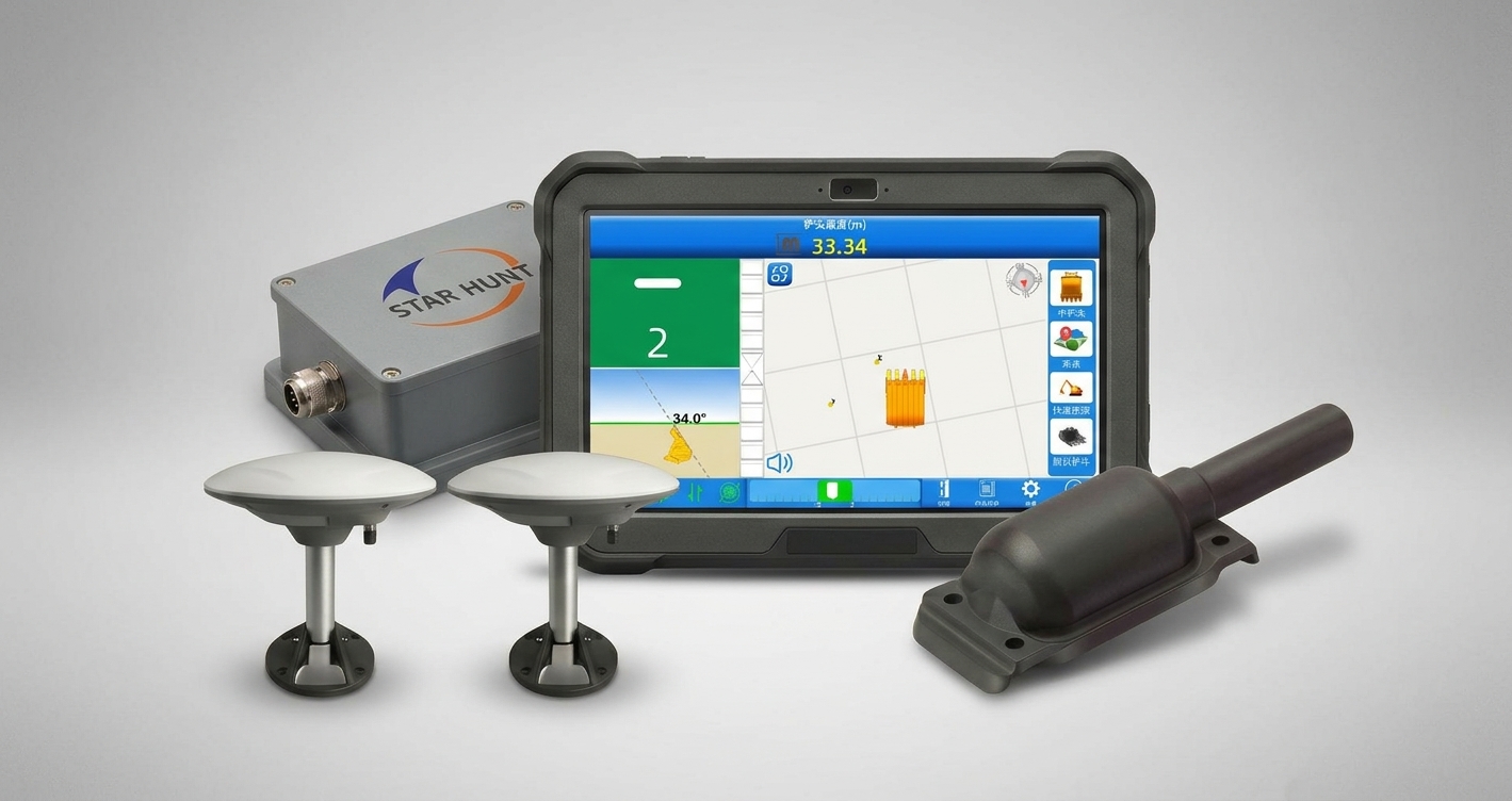
Highlights
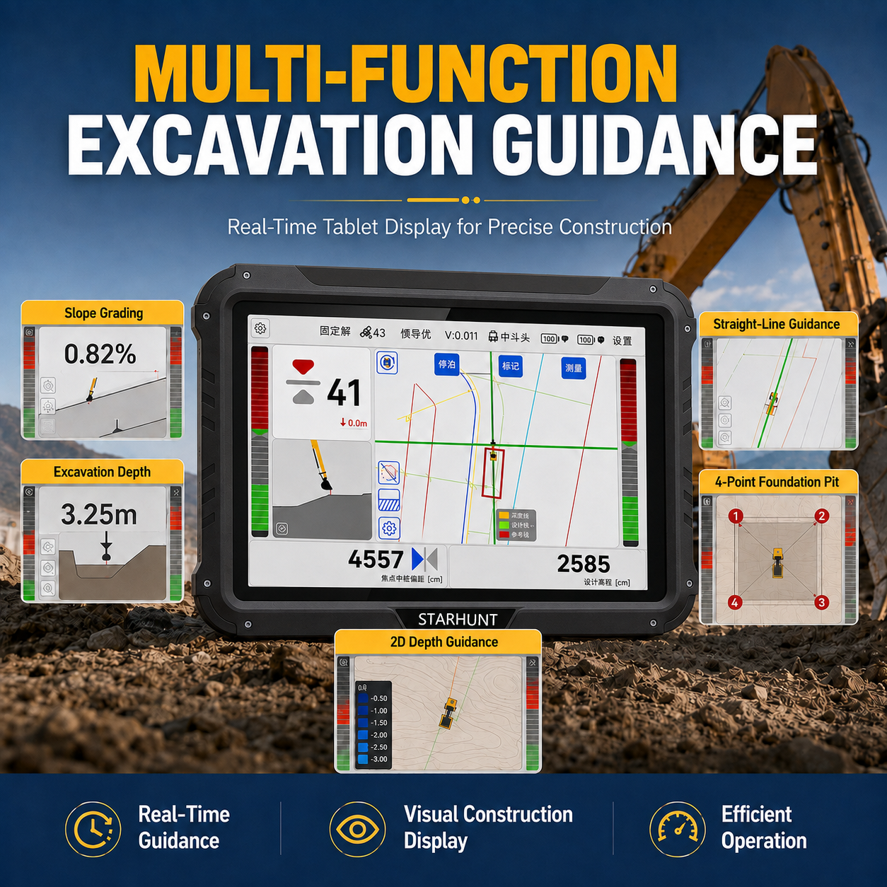
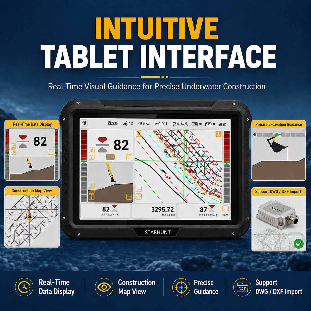
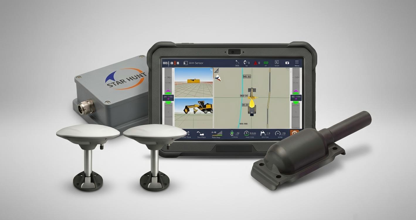
iEX 3D supports input of construction parameters defined by the plan profile cross section design concept, and can also import design drawings. It is suitable for a wide range of large scale, high complexity earthworks, including road and river projects, ensuring consistency between construction operations and design specifications.
Main Features
High-Precision
±3 cm
User-Friendly
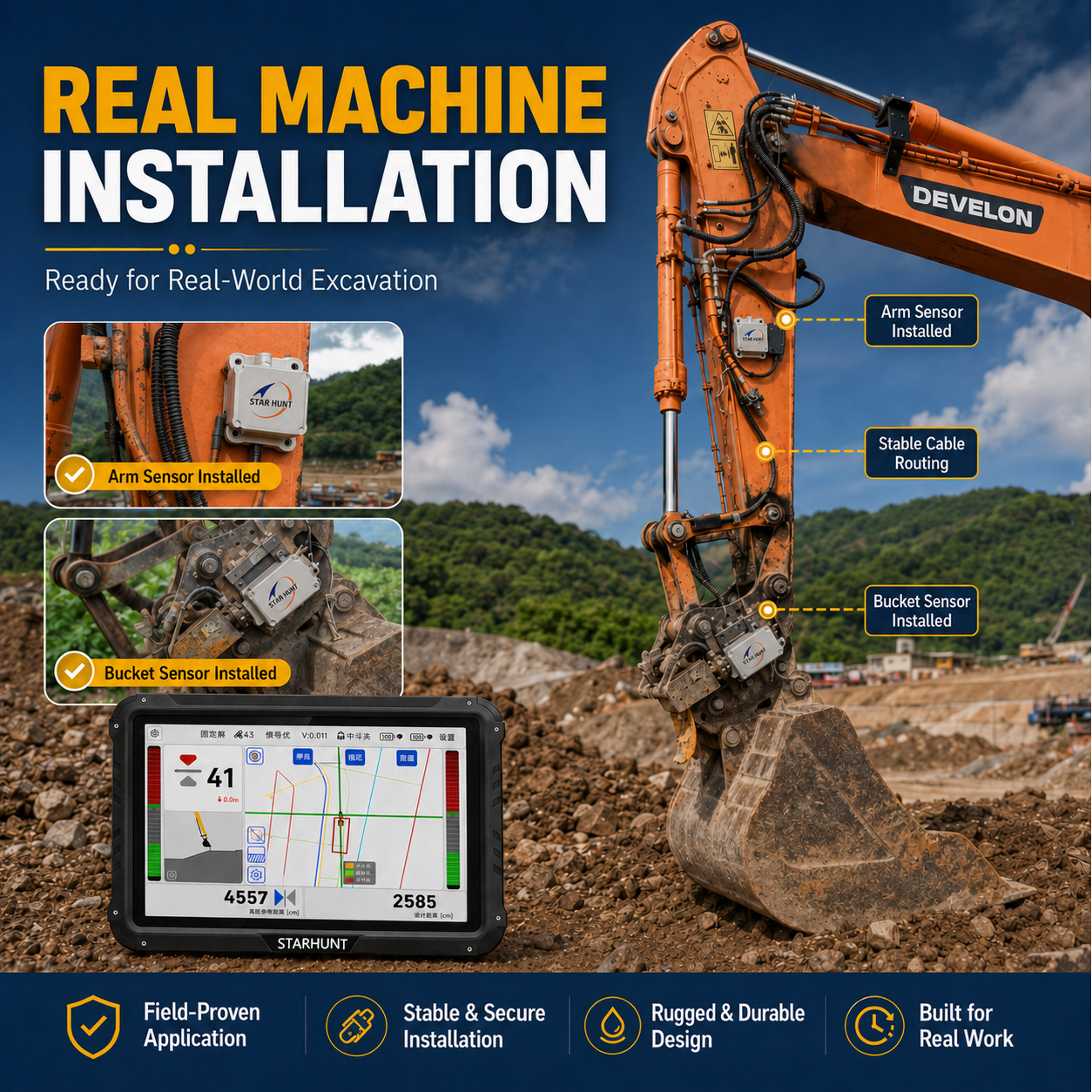
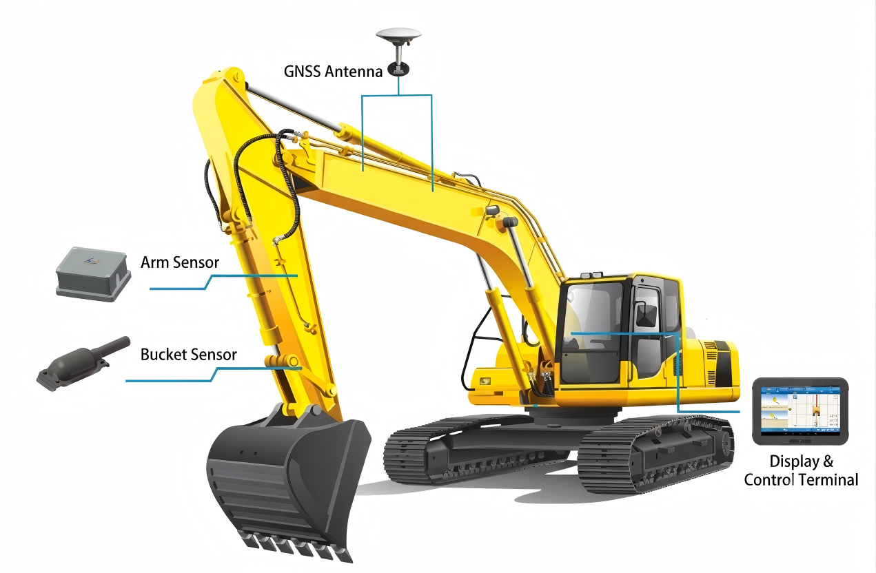
Easy to install, learn, and use.
Flexible & versatile
Leveling / Trenching / Slope / Straight-line / 4-Point Pit
Maintenance service
Ongoing free upgrades
Benefits and Performances
01Real-time 3D bucket tip
02Supports DWG/DXF input
03Color-coded depth map: green = done, red =
04Automatic tide level compensation for accurate depth regardless
05Underwater obstacle marking to prevent bucket impact damage
06Cloud-based remote monitoring
07Single-operator capability
08SUPPORTS 24-HOUR CONTINUOUS OPERATION
Seeking for perfect solution to fit your needs?
Contact StarHunt Navigation to create a customized solution tailored to meet the specific needs of your business.
Contact Us Today